
Voyageur Map 1 BWCA
$9.95
Available for In-Store Pick Up
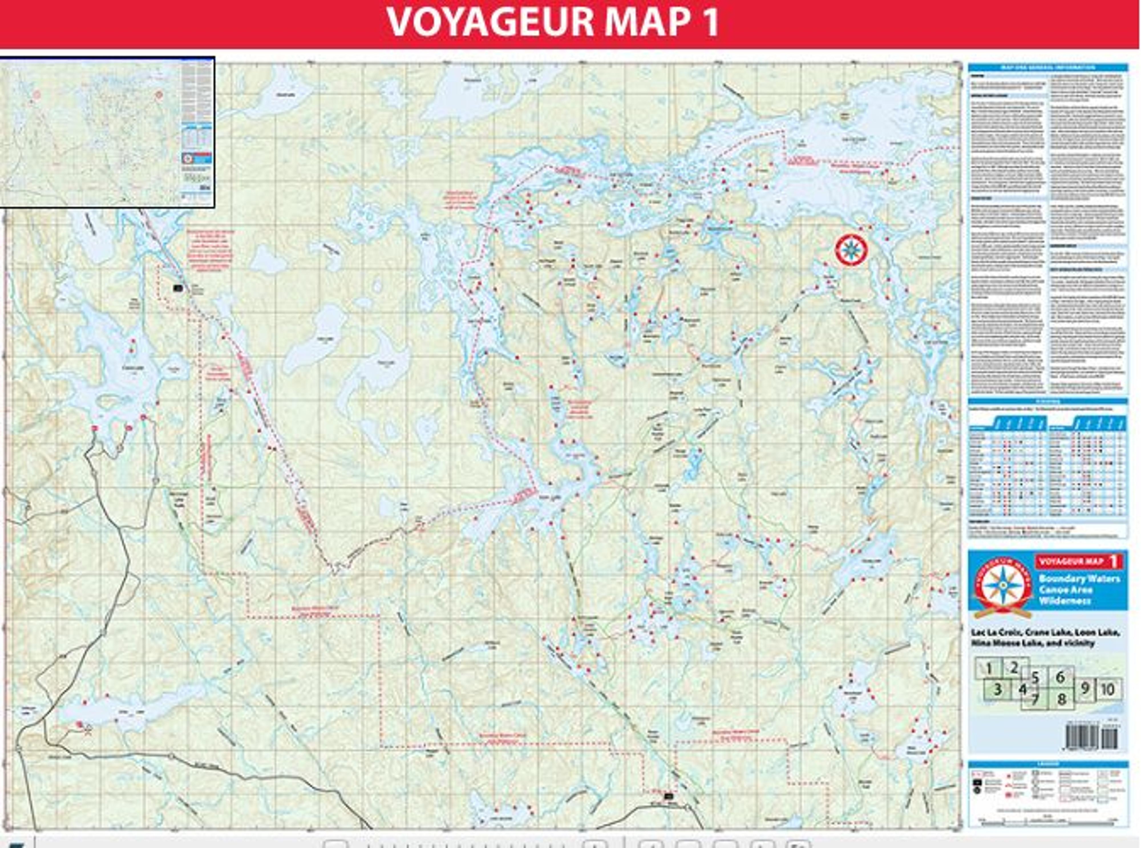
Map 1 covers portions of the far northeastern Boundary Waters, including entry points north of the Echo Trail. This area offers excellent paddling on dozens of fine wilderness lakes, as well as opportunities to explore magnificent Lac La Croix on the U.S. - Canada border.
In general, the majority of visitors to portions of the BWCAW shown on Map 1 will stick to the edges , either staying along the border lakes, including Little Vermilion Lake, Loon Lake and Lac La Croix; or will tend to stay on the more southern routes through the Pauness Lakes, Shell Lake, Lynx lake, Oyster Lake, and down into Nina Moose Lake. More isolation, as well as more difficult travel, will be found in the smaller lakes just south of Lac La Croix.
Caution should be exercised when crossing the largest lakes of Map 1 in a canoe. In particular, the big open stretches of Lac La Croix can develop large waves that are difficult or hazardous to navigate in a canoe. Early morning is often the best time to cross these big areas.
In addition to paddling, limited hiking opportunities are available.