
Voyageur Map 7 BWCA

$9.95
Available for In-Store Pick Up
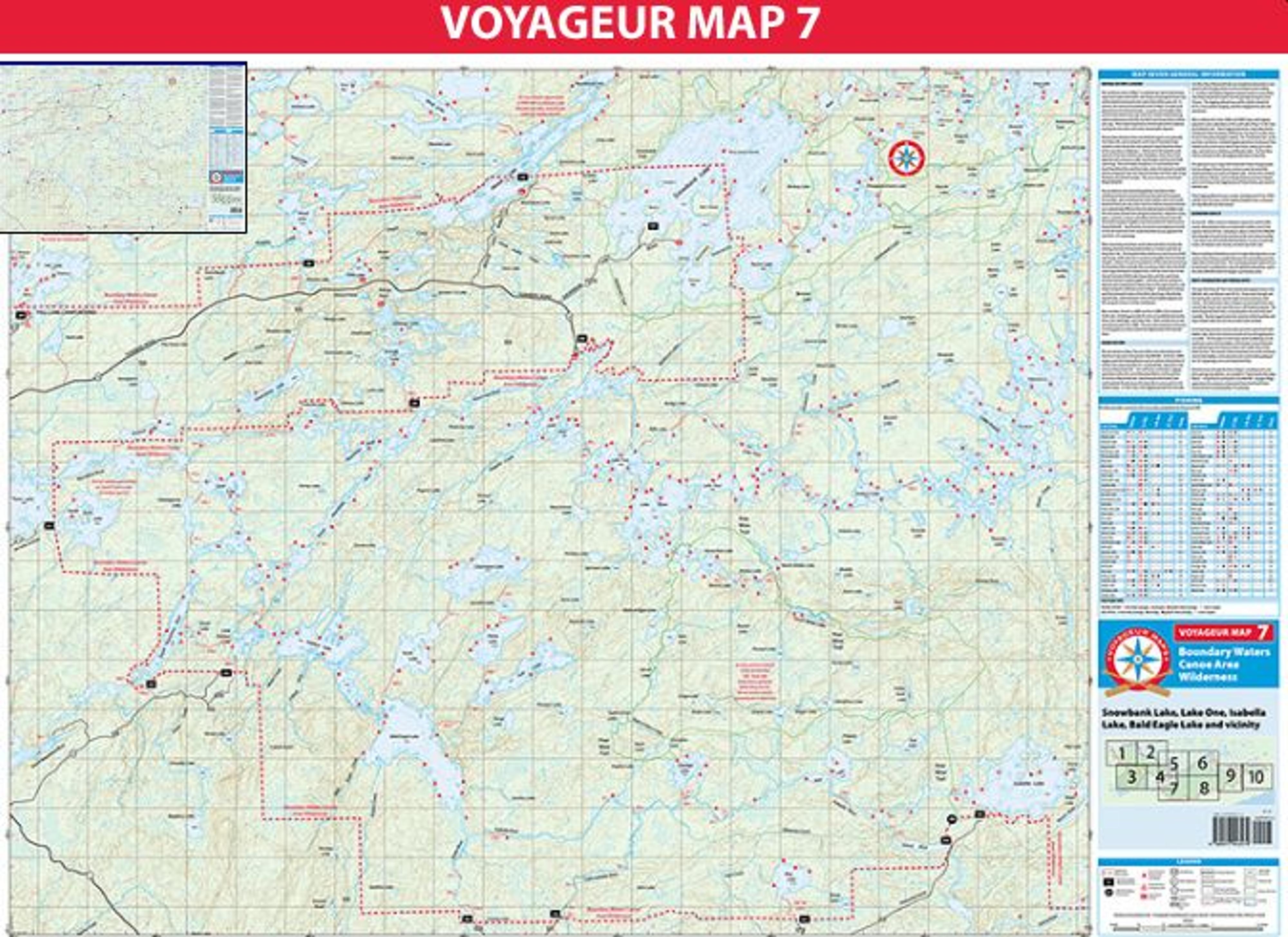
Map 7 covers portions of the Boundary Waters Canoe Area Wilderness (BWCAW) at the end of the Fernberg Road (County Road 18), as well as areas accessed by Highway 1, County Road 23, and the Tomahawk Road (Forest Service Road 377).
Fourteen different water entry points are shown on Map 7, including such popular entries as Moose Lake (EP 25), Snowbank Lake (EP 27), and Lake One (EP 30).
The Lake One entry is the second most popular entry in the BWCAW, after only Moose Lake. If you enter through Lake One during the summer months expect to see numerous other visitors. You’ll find fewer other campers as you head further east toward Lake Insula, but even this area is still relatively popular.
The South Kawishiwi River area is very beautiful, but also fairly well traveled. The best opportunities for isolation will be found by heading to smaller lakes that are not on main travel corridors.